Location Is Data.
We Turn It
Into Decisions.
From vaccine risk modeling to defense simulations and investment-grade terrain analysis, we build geospatial systems that move beyond visualization into decision support.
Maps used to describe the world. Today they predict it.
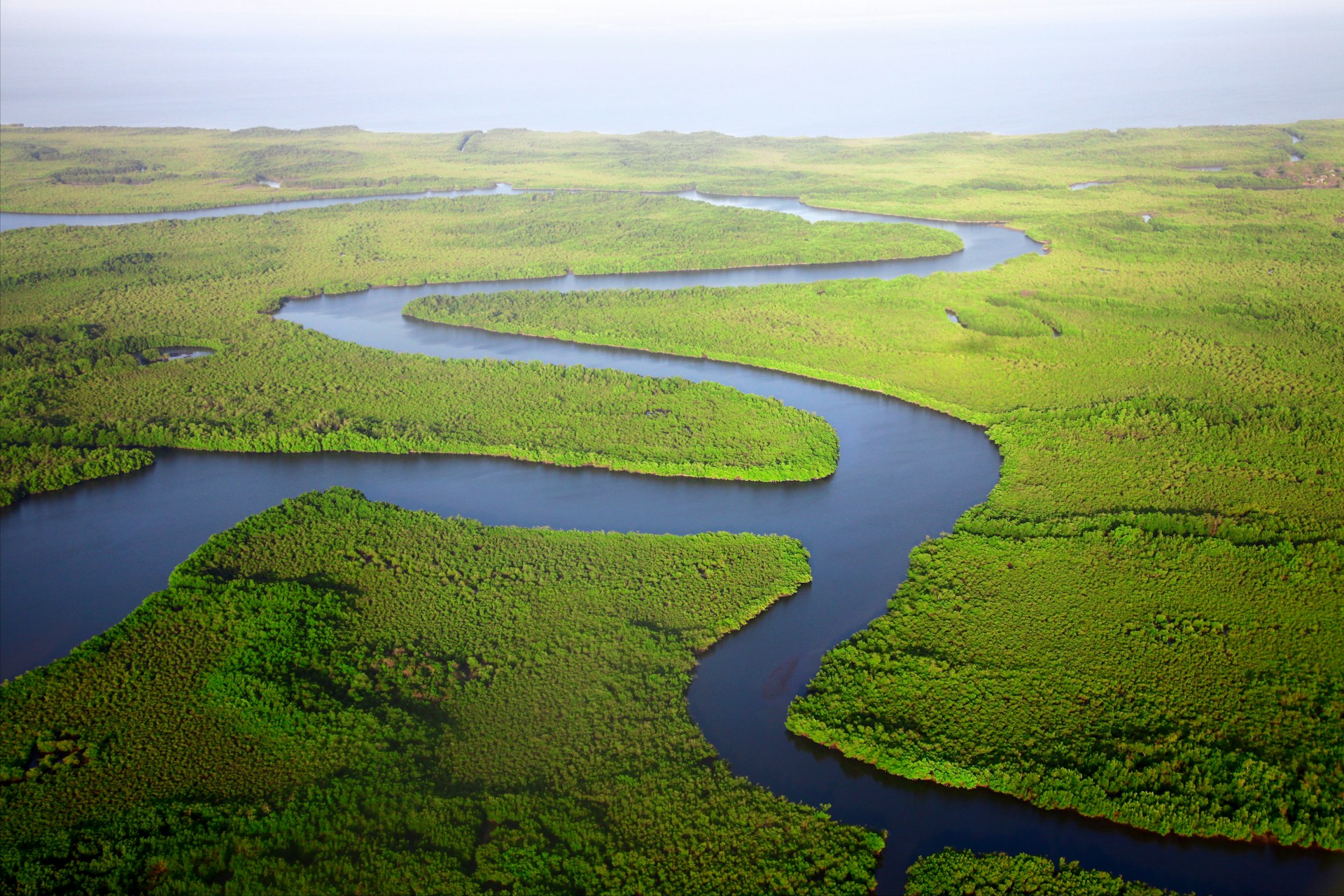
Satellite imagery, lidar scans, environmental variables, and simulation engines generate enormous volumes of spatial data. The challenge is not collection — it is interpretation.
We build geospatial systems that combine environmental modeling, AI, and interactive visualization to support real-world decisions — across public health, investment analysis, and operational planning.
Pfizer
Modeling Tick-Borne Encephalitis Risk
Pfizer needed more granular insight into where Tick-Borne Encephalitis risk was highest to better inform vaccine recommendations. Risk zones were traditionally defined broadly. They needed precision.
- Tree canopy density analysis
- Moisture levels and vegetation patterns
- Elevation and terrain features
- Seasonal environmental variables
- Microclimate indicators
The result: More precise geographic targeting, data-backed vaccine guidance, and improved public health intelligence. This was not just mapping — it was predictive environmental modeling.
Acre Investments
Lidar + Satellite Terrain Intelligence
For Acre Investments, we combined lidar data with satellite imagery to create detailed terrain models for investment analysis. We integrated both into an interactive Mapbox visualization platform for exploration and decision support.
- Analyze topography and grading
- Assess vegetation coverage
- Evaluate development constraints
- Visually explore property characteristics
- Make faster, data-driven land decisions
The output was not a static map. It was an interactive geospatial intelligence layer.
ScenarioAI
Arctic Ice and Operational Simulation
We worked on geospatial modeling within ScenarioAI to analyze Arctic ice coverage and combine it with operational simulation engines — integrating MAK VRforces and Systematic SitaWare HQ.
- Arctic ice concentration data and seasonal variability modeling
- Geospatial positioning of simulated troop units
- Terrain and movement constraints
- Synchronized with simulation platforms
- Scenario testing under realistic geographic constraints
This was not visualization. It was integrated simulation intelligence.
What We Do
Spatial data, made useful
Satellite & Remote Sensing
Analysis of multispectral satellite imagery for environmental intelligence and change detection at planetary scale.
Lidar Processing
High-resolution terrain modeling from lidar point clouds for investment analysis, construction planning, and defense applications.
Environmental Risk Modeling
Statistical and spatial models that quantify risk from climate, ecological, and terrain variables — from disease vectors to flood exposure.
AI-Enhanced Spatial Detection
Machine learning applied to spatial data for pattern recognition, anomaly detection, and predictive environmental modeling.
Interactive Visualization
Mapbox, Deck.gl, and custom JavaScript platforms for geospatial exploration — built for decision-makers, not just analysts.
Simulation Integration
Connecting geospatial layers to simulation engines for operational scenario planning under realistic geographic constraints.
When Location Matters, Precision Matters.
Whether modeling disease risk, evaluating land investments, or simulating Arctic operations — we transform geospatial data into actionable intelligence.